Rethinking the urban experience by interacting with people's surroundings more holistically.


BIM & GIS services
Building information modeling (BIM) is the process of creating and managing 3D, 4D,
and 5D information for a construction project across multiple disciplines. ArcGIS Pro
supports BIM design files from Industry Foundation Classes (IFC) formatted files and
Autodesk Revit (RVT) as ArcGIS BIM file workspaces.
3D Revit model is an extension of the BIM technology. BIM is a computer-aided
design (CAD) system that supports all types of building projects - from residential
houses to office buildings and BIM objects in infrastructure.
GeoBIM technology saves a lot of time for civil engineers in their project planning and
execution. With the help of BIM, they can create more detailed models and plans, thus
saving more cost and time in development phases.
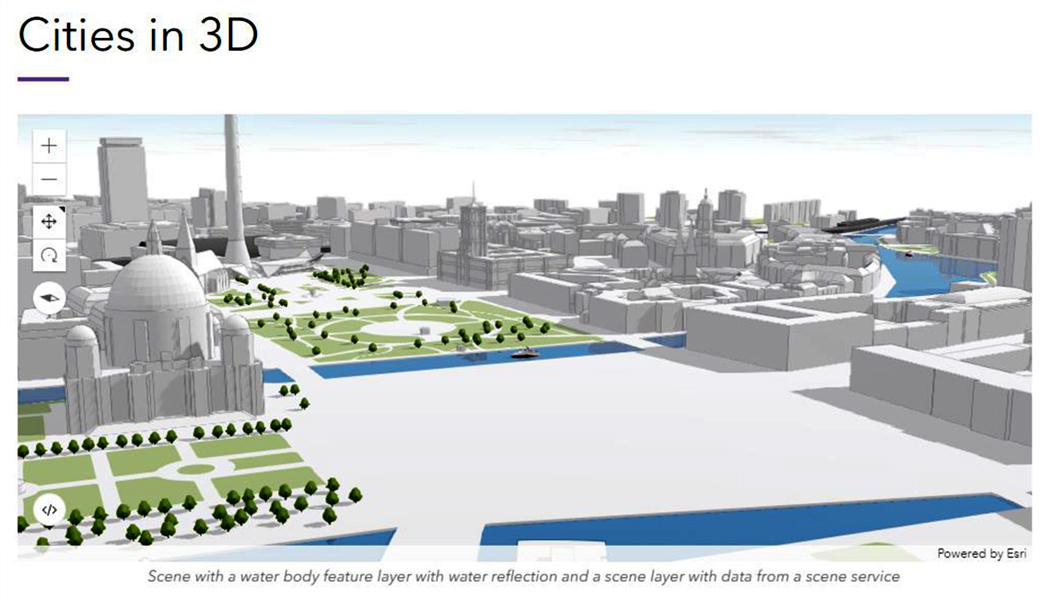
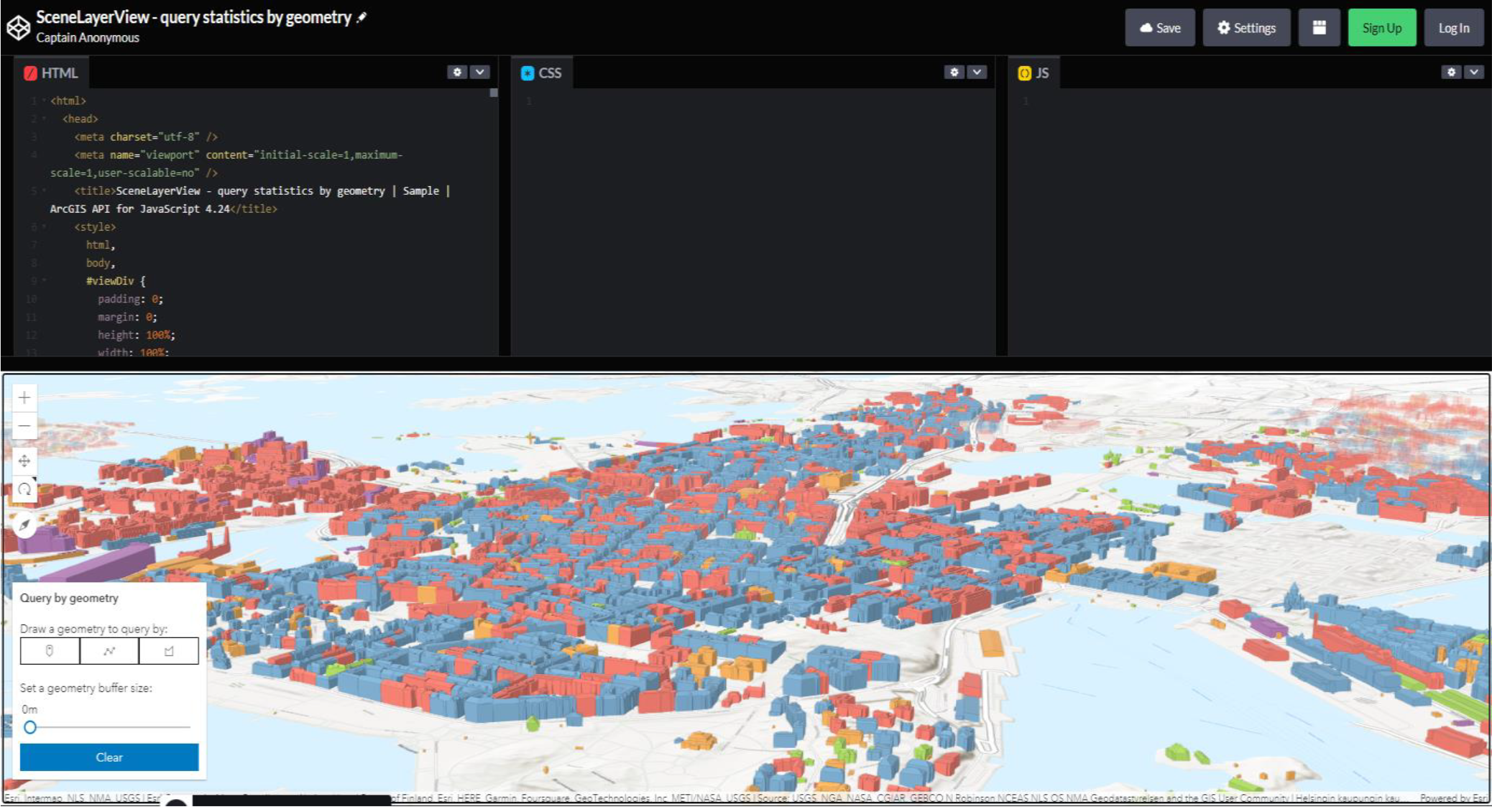
GIS is a powerful tool for analysing and visualizing spatial data with the goal of
understanding how people, places or things are related or geographically located.
Our world is changing at a faster pace than ever before in history - our buildings are
getting bigger, our vehicles are getting smaller and our countries are moving online.
-
-
Rebuilding Location Solutions as 3D data provides answers to questions that were never possible before.
-
Integrating planning, design and construction data to generate smarter solutions for the future of cities and buildings.
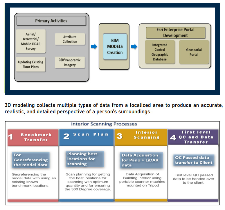
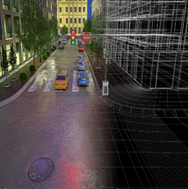
Interior Building Scanning process
An Interior scanning process is an important step in understanding the building architecture. Interior scanning is a practice of interior designers, architects and engineers to collect data about the interior in order to provide a rationale for their design proposal.
Also interior scanning process allows the gathering of accurate information about the building interior with 3D data modeling and analysis of construction work.
The 3D data which is obtained about the building can be used to create interior design ideas which help increase property owner's advantage.